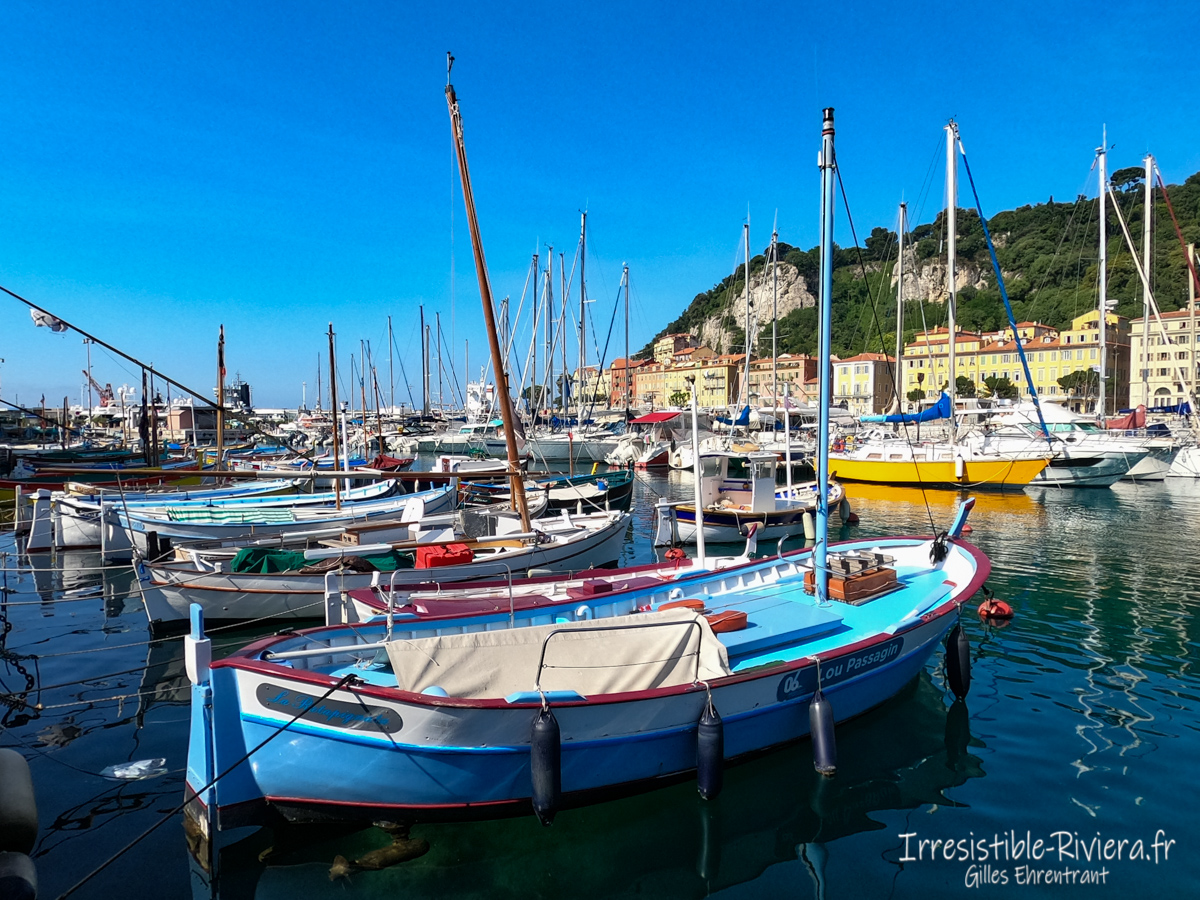
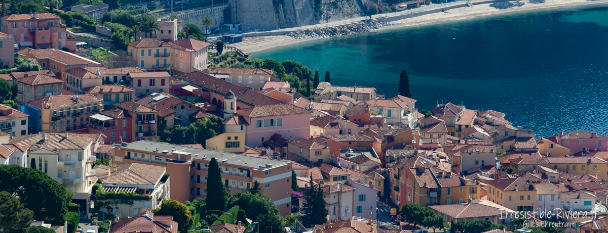
A real pleasure to leave the city center of Nice for a walk towards the hill of Mont Boron with a panorama towards the Baie des Anges and Villefranche-sur-mer.
Lou Camin Nissart
 The ride is part of a set called "Lou Camin Nissart". It is a marked route of 42 kilometers and 1,000 meters of elevation gain that embraces the capital of the French Riviera. The French hiking federation manages and maintains this path which starts from Place Garibaldi, passes through the Boron and Alban mountains, descends to the Villefranche pass, at the level of the average ledge, then climbs to Mont Vinaigrier before descending into town in the district. from Saint Roch then cuts the Paillon (which is still here in the open air before the promenade des arts otherwise called the green flow). The ascent leads to the monastery of Cimiez and its superb garden, then on the way to the Gairaut canal, then the sector of Mont Chauve, Saint Roman de Bellet and descends via Ventabrun, the Magnan valley to finally disembark on the Promenade des Anglais.
Mont Boron et Fort du Mont Alban from Nice
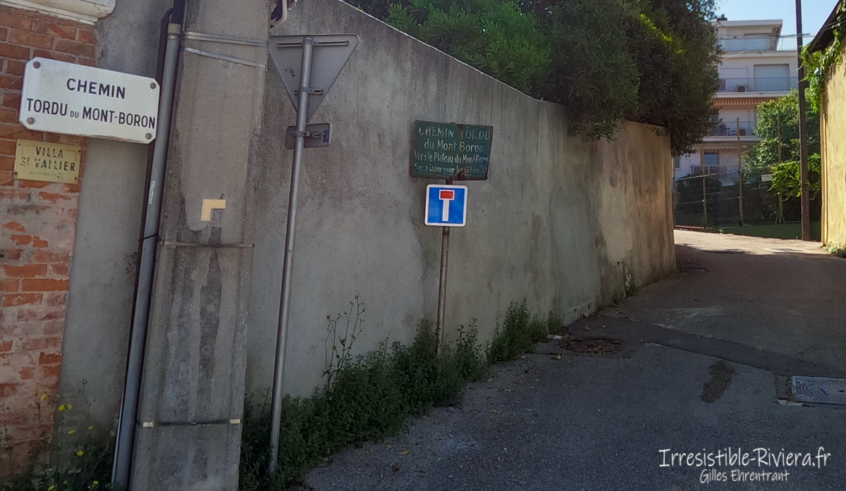
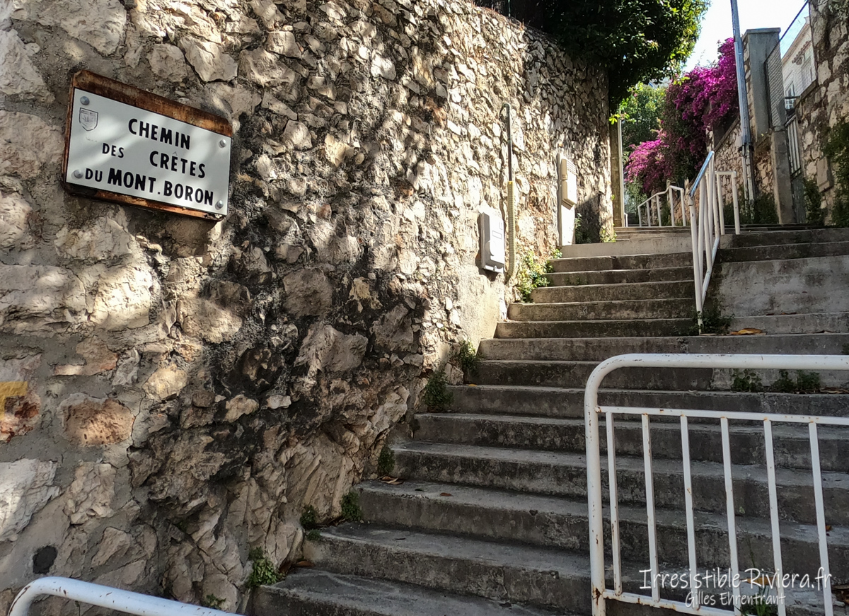
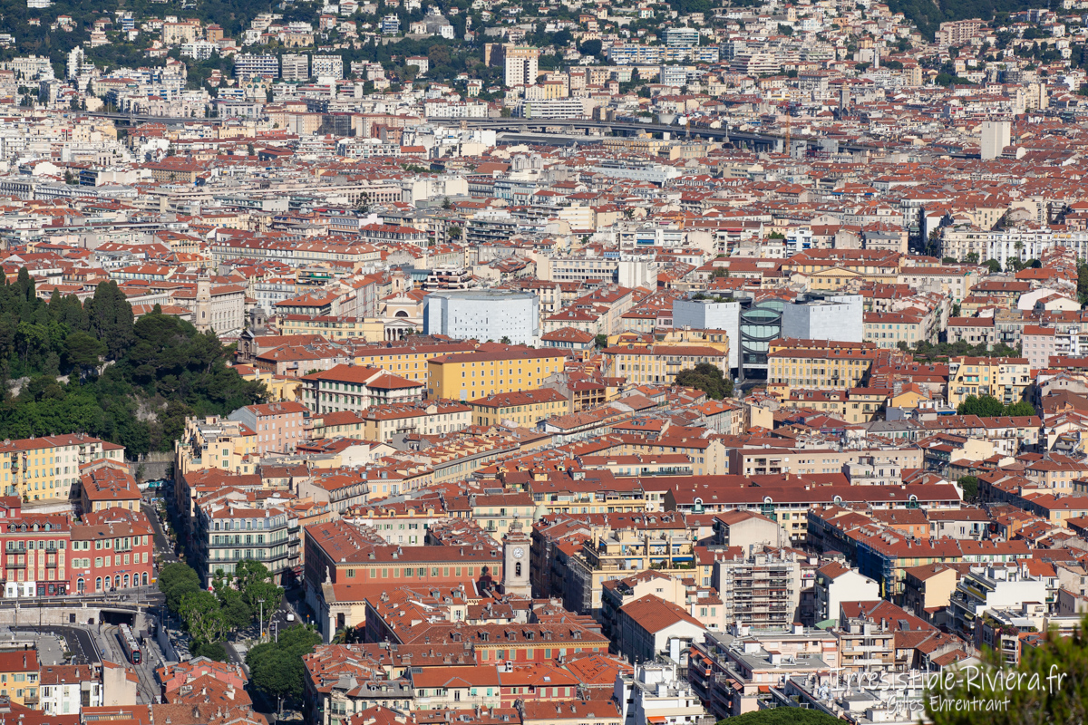
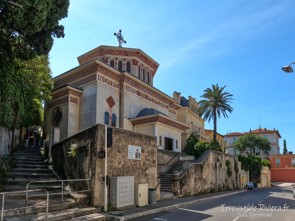
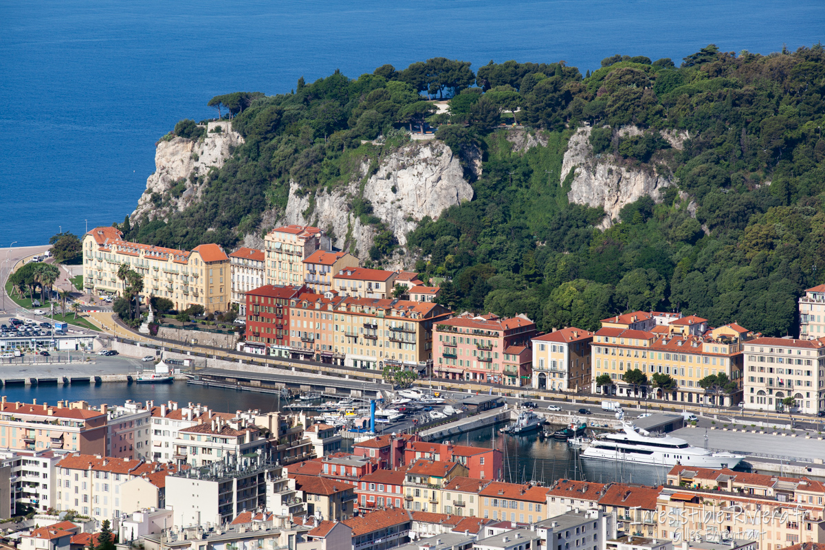
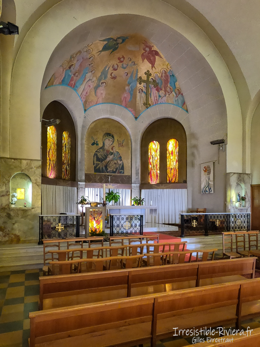
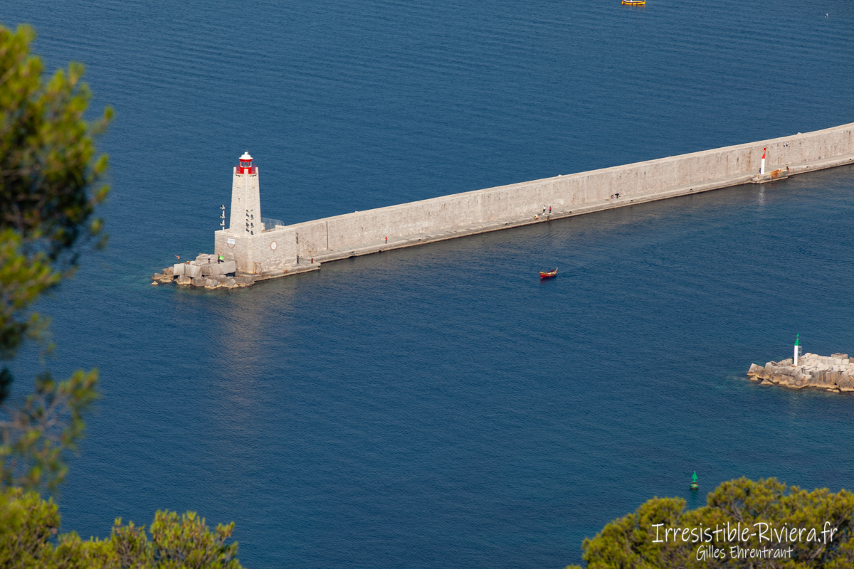
We are interested here in the first part of this path. It allows from the city center of Nice, starting from the famous Garibaldi square, former departure from the royal road to Turin, to reach the port of your choice by Ségurane or Cassini. After walking along the quays to the Lympia gallery take the stairs and continue on Boulevard Franck Pilatte. The official path offers to go through the Cape of Nice, we opt here, in particular on the virtual tours of this page, for another slightly more urban trip in the middle of the villas and beautiful houses of the residential area of Mont Boron. At the restaurant “la Réserve” follow the street Saint Aignan, leaving the sea behind you. A first staircase will lead you to the level of the low cornice while a succession of alleys and stairs (always straight towards the top of the hill) will take you past the beautiful church Notre-Dame-du-Perpétuel-Secours of Nice. The stairs will then quickly lead you into a wooded area that leads to a square at the Mont Boron forest road. Head south to reach Mont Boron and its fortification at the end of the 19th century, intended to protect the Baie des Anges and the entrance to Villefranche bay, which can be bypassed by a wide path. A first panorama, dotted with pine trees, overlooks the port of Nice, the hill of the castle and the whole city.
On the way to Mont Alban
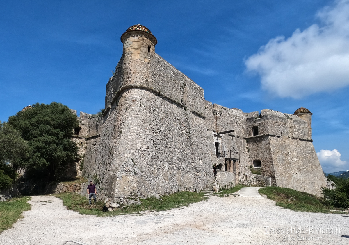
You will then have to reach the fortification of Mont Alban by following the road or the paths bordering it. Arrived on the spot, a splendid point of view opens towards Villefranche-sur-mer and its bay but also towards "the dog's head" above Monaco towards the east. We understand the name of Alpes-Martimes as the Alps plunge here, literally in the deep blue.
The building, which overlooks the city at an altitude of 220 meters, dates from the 16th century. A new panorama towards Nice is located by going to the large antennas a little below the path.
You will then have the choice either to descend by the same path, possibly with the variant of Cap de Nice. Either extend to the north and the Villefranche pass either to continue towards Mont Vinaigrier or to take a bus that goes down into the city center.
Virtual tour of the hike
Click on the purple links to move in the virtual visit or on the globe ![]() to view a map of 360 ° views and access them.
to view a map of 360 ° views and access them.
This walk and sector also offers the possibility of practicing running and even trail running to benefit from elevation. You will come across many athletes on foot, by bike but also some martial arts clubs.
In summary, a nice stroll, a short hike in Nice where its inhabitants and visitors, passing tourists will be able to benefit from a beautiful natural space thanks to this hill straddling Villefranche and Nice. Municipalities very historically linked to each other.
Few pictures
Video captures (short version 20 sec)
For a better rendering : choose the maximum definition by clicking on the small gear serrated .
https://youtu.be/eSddk8WiH_g
Video captures 4K (4 mn version)
For a better rendering : choose the maximum definition by clicking on the small gear serrated .
https://youtu.be/TcNBUAMyK1g


